
AIRPORT
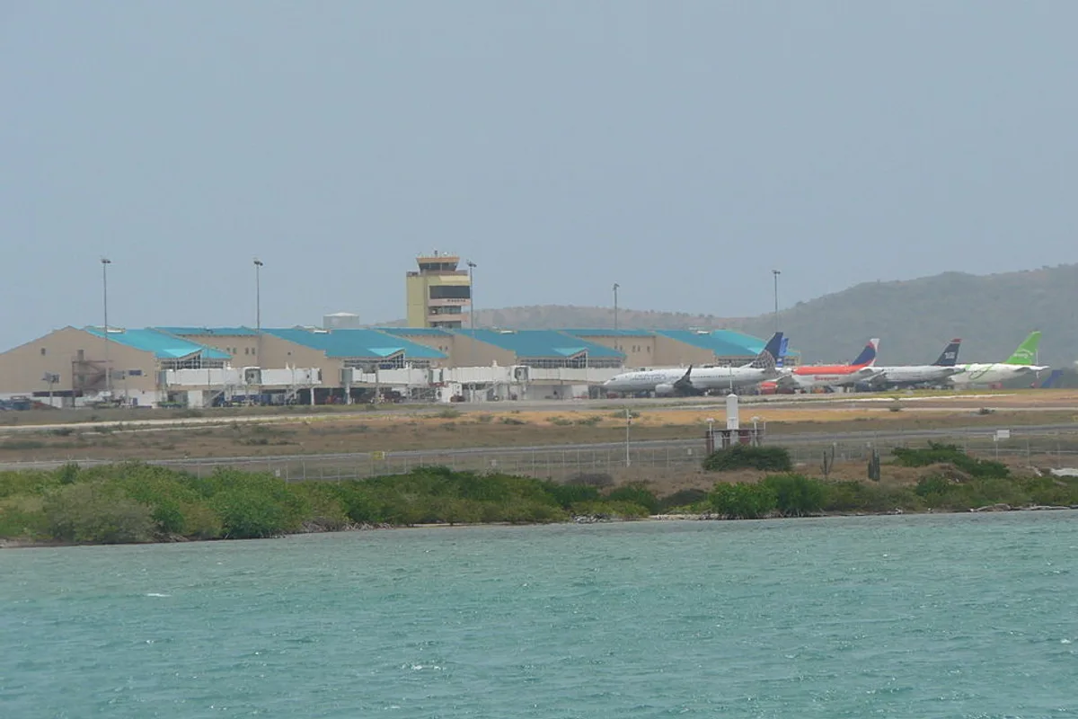
Queen Beatrix International Airport
Check the airport code and location, then explore related country and city guides. Coordinates do not verify terminal or facility operations.
- IATA
- AUA
- ICAO
- TNCA
- Country / territory
- Aruba
- Municipality served
- Oranjestad
- Coordinates
- 12.501056, -70.014281
See weather near this airport →
Data source
OurAirports · Public Domain · Dataset imported: 2026-10-05